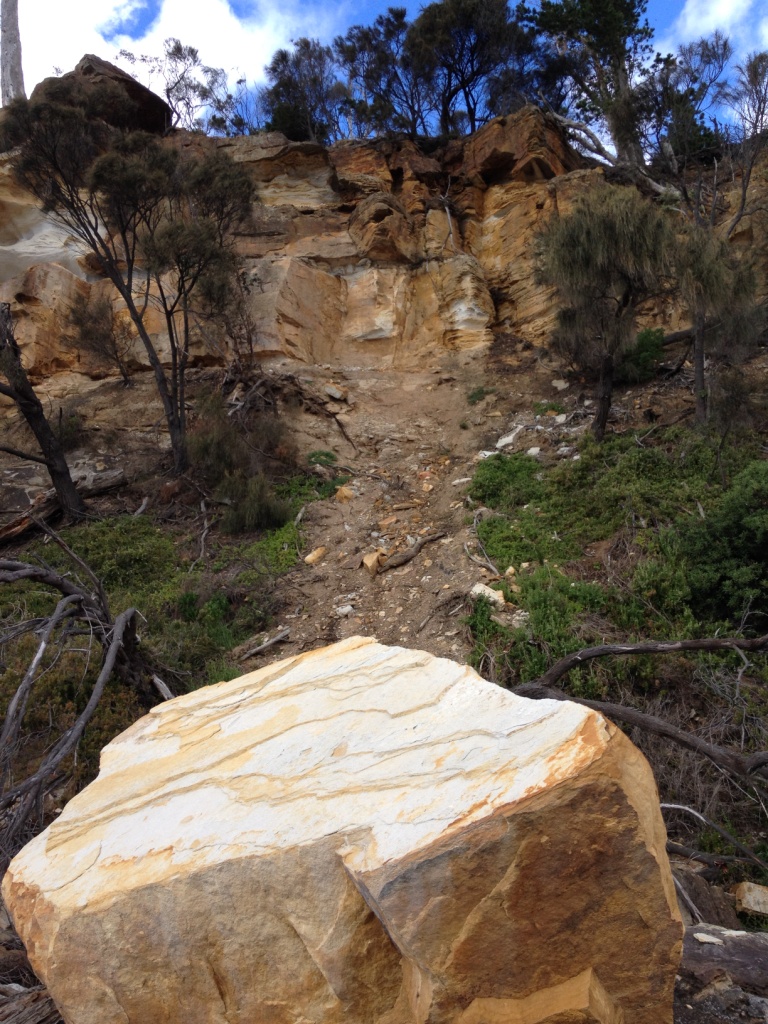
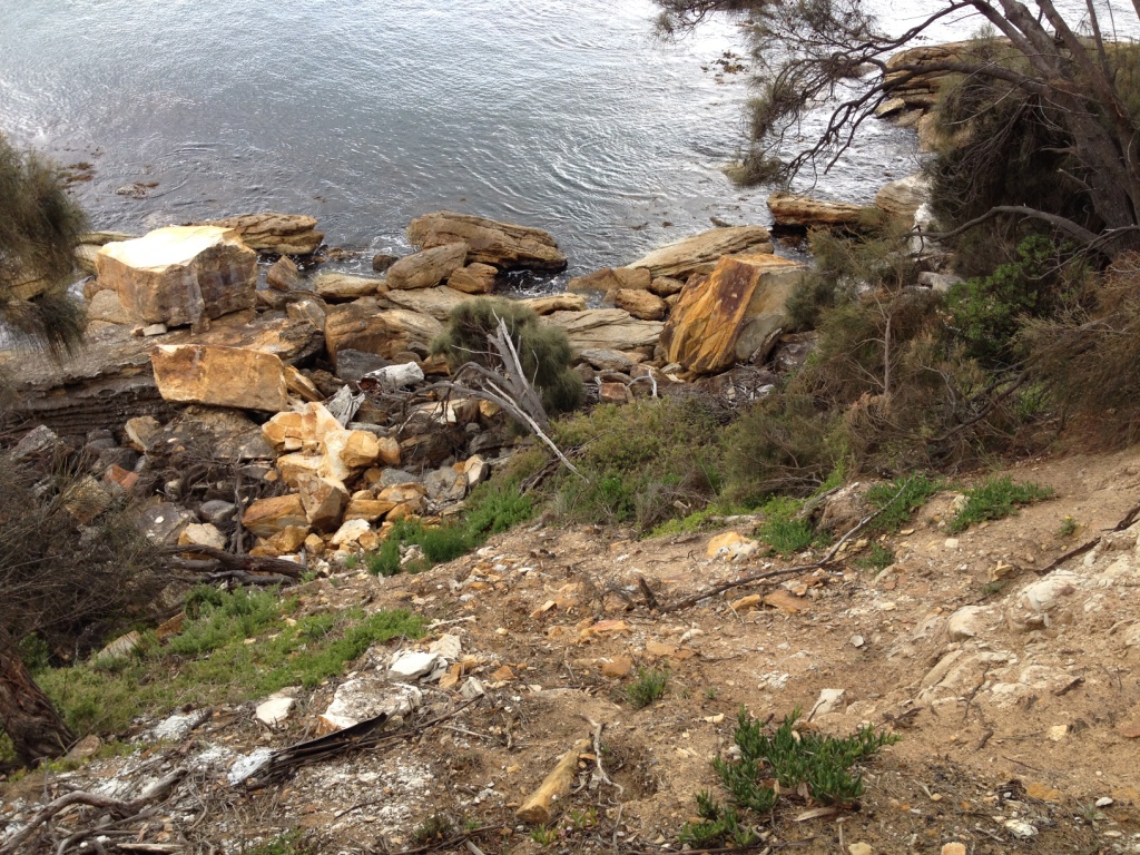
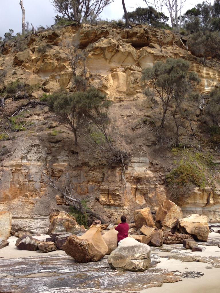
I’ve recently posted news items about the Tasmanian Landslide Code, the On-site Wastewater Management Code, and the Coastal Erosion Hazard Code. I’ve produced flowcharts to help people navigate through each of these.
Many people I am sure are unaware of these Codes, and 20 or more others, which form part of Tasmania’s state-wide 2015 Interim Planning Scheme. Potentially, they affect if and how you develop your land. If you are planning a development – it might be building a new house, or extending an existing one – you should check them out beforehand.
If you are contemplating buying land to build on, I would also strongly suggest that the contract for purchase should include a clause which says that settlement is subject to a satisfactory geotechnical report.
Here’s the full list of Codes in the 2015 Interim Planning Scheme, labelled E1.0 though to E24.0. Not all of them apply to each Local Council. The ones I can help you with are linked to pages in this website.
- E1.0
- Bushfire-Prone Areas Code
- E2.0
- Potentially Contaminated Lands Code
- E3.0
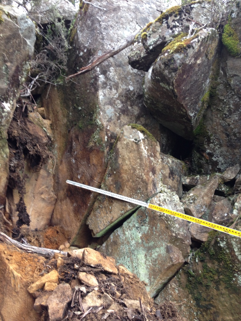
- Landslide Code
- E4.0
- This code number not used
- E5.0
- Road and Railways Assets Code
- E6.0
- Parking and Access Code
- E7.0
- Stormwater Management Code
- E8.0
- Electricity Transmission Infrastructure Protection Code
- E9.0
- Attenuation Code
- E10.0
- Biodiversity Code
- E11.0
- Waterway and Coastal Protection Code
- E12.0
- This code number not used
- E13.0
- Historic Heritage Code
- E14.0
- Scenic Landscapes Code
- E15.0
- Inundation Prone Areas Code
- E16.0
- Coastal Erosion Hazard Code
- E17.0
- Signs Code
- E18.0
- Wind and Solar Energy Code
- E19.0
- Telecommunications Code
- E20.0
- Acid Sulphate Soils Code
- E21.0
- Dispersive Soils Code
- E22.0
- This code number not used
- E23.0
- On-site Wastewater Management Code
- E24.0
- Significant Trees Code
You can also see the Codes listed, and in detail, on the state government website www.iplan.tas.gov.au.
(Click on “Planning Schemes”, then select your Local Council, and, at left, “Part E Codes”.)